
Introduction
Balakot is one of the four known ancient coastal sites of Pakistan, dating back to the Harappan (or Indus) period, the oldest civilization in South Asia. Its geographical range,from the Arabian Sea to the foothills of the Himalayas, far exceeds that of the Sumero-Babylonian or Egyptian cultures of the Middle East.
Its clear propensity for organization and standardization in architecture, artifacts, and art styles is unparalleled in the ancient Old World.
Near Mansehra District, Khyber Pakhtunkhwa, near Azad Kashmir.
Mansehra, Town, Northeastern Khyber Pakhtunkhwa Province, Pakistan.
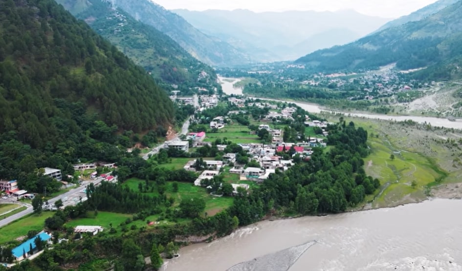
The town is situated at the southern end of the Pakhli Maidan on the Bhat Stream, a tributary of the Seran River, at an elevation of 3,682 feet (1,122 m) above sea level. The nearby Ashokan rock dates back to the 3rd century BC.The town is 12 miles (19 km) north of Abbottabad city.
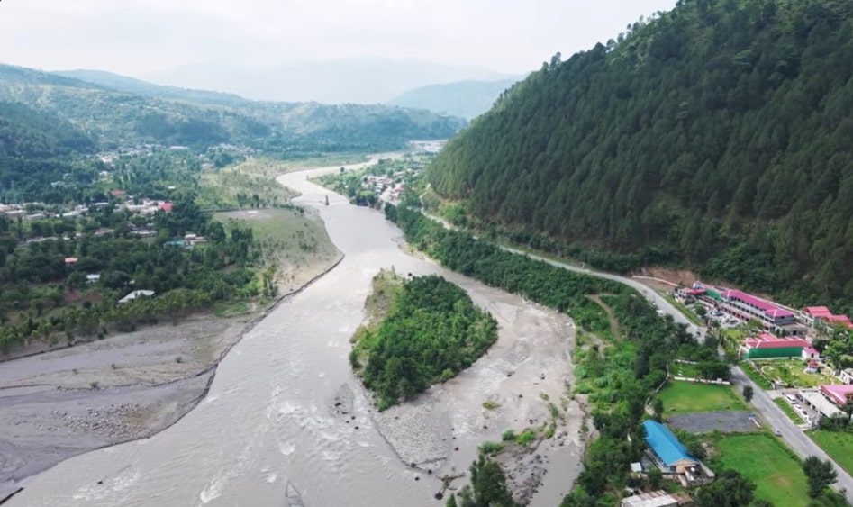
Kanhar River
Balakot is found on the right bank of the Kanhar river.
It is about two-thirds of the length of the waterway since its inception in Lake Dharamsar, deep within the Kaghan Valley.
Some time ago, it turned into the Jhelum River. The lower reaches below Balakot, known as the Nain Sikh Valley, are quiet.
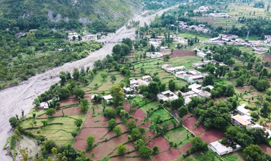
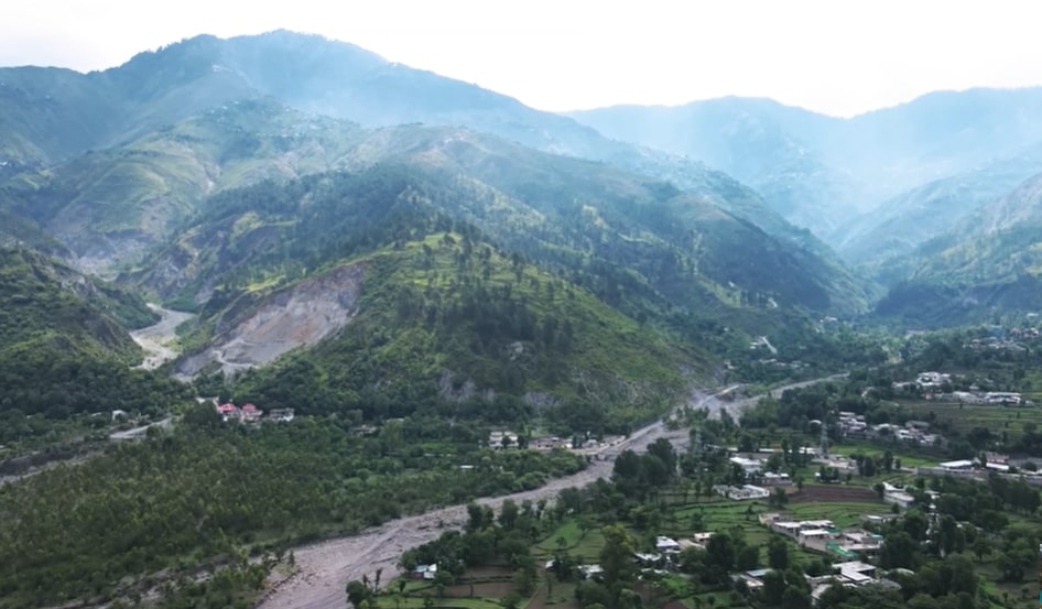
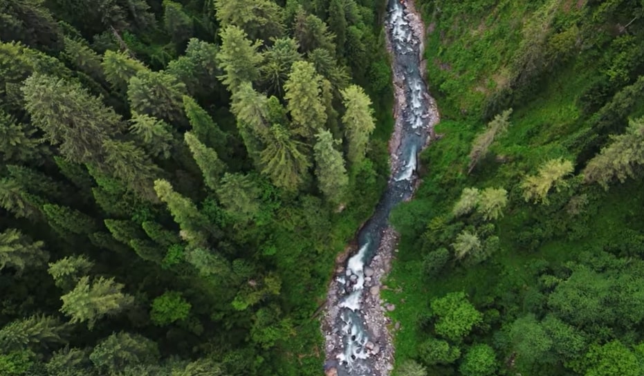
The Kaghan Valley above Balakot city is so cold that winter makes the entire region solid. The Kaghan Valley can be an incredible summer spot.
And there is a forest. Small villages are found within the terraced mountains around it.
Shogran Valley
Have you been thinking about what kind of journey you will take during the watch the scenic landscape?
can visit the sacred areas of Pakistan , or is it a Holiday visit a beautiful towns of AJK
Visit the Shogran Valley and enjoy journey.
here season a green meadows or a beautiful landscape in this area looking at the forest are very beautiful falling a waterfall
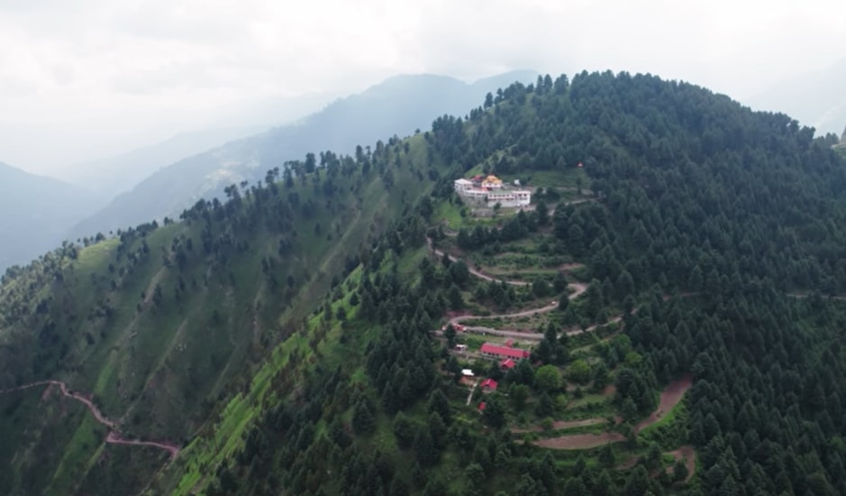
Makra Peaks and Tourist Resorts
The Makra is a peak in the Mansehra District in Northern Pakistan Himalayas in Hazara Region.It is the very scenic beautiful hiltop going to top of the hill. It is almost 3,885 metres (12,746 ft) high and almost 200 kilometres (120 mi) from Islamabad and surrounding the balakot and other regions attach on Naran Road.Going From Kiwai, a single 7-kilometre-long road runs uphill to Shogran, a tourist resort with numerous hotels; the track continues to climb up to Siri Lake and ends at Paye. From here it is a trek of four hours to the top of the Makra. Hiking on the Makra is difficult due to snow and the gradient of the mountainsides.
Makra peak, Shogran, Kaghan Valley
Although it can be straightforward to climb, fatalities have occurred during storms.mostly winter was very cold area by snowfall In spite of its difficulties, the summit offers the good views of Hazara and Azad Kashmir. Fatalities tend to occur in bad weather, especially thick fog, and as a result of the steepness of some sections. The waters from the mountain’s glacier feed the Kunhar River